I love road tripping and I don’t think that’s ever more evident than in my national park trips. Last month my siblings and I drove 10 hours from Pennsylvania to South Carolina, spent the following day hiking the park, came back the next day to do more hiking and then drove the 10 hours back :)) Three days, a lot of time spent in the car and still better than how we did Great Smoky Mountains. Of course, the main reason for these crazy trips is one of my life goals is to visit all 63 national parks. Last month’s trip to Congaree National Park makes #6!
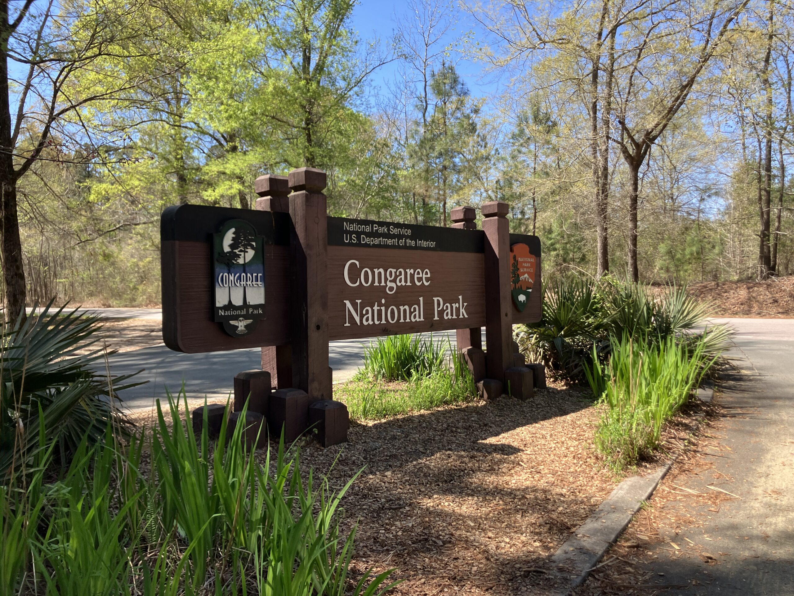
About Congaree National Park
Congaree National Park was established in 2003 (on my bday), making it the 7th newest national park. I always get a kick out of visiting parks no one’s heard of. It’s located in South Carolina, right outside of Columbia. This is another one of the free parks to visit – i.e. no park fee.

In terms of the actual park, most of it is a floodplain, soooo heads up for planning your trip – def wear old/waterproof shoes. There was a lot of pooled water to wade through. Check the park’s website because trails are prone to flooding.
The park itself is a little over 26,000 acres. For reference: about half the size of Acadia. Congaree’s claim to fame is having the largest remaining old growth bottomland hardwood forest left in the U.S. We sat and watched the video they had playing at the visitor center and it was really startling to watch the timelapse map of how these forests have disappeared. Now it’s basically just Congaree.
When to Visit
March was busier than I had expected, especially since I swore off visiting national parks in March after Cuyahoga. But since Congaree is a lot farther south (and I wouldn’t be able to visit a national park this year if I didn’t go), I bent the rules. We had beautiful weather – 70 degrees and sunny both days. Parking was limited though. We didn’t have any trouble on Friday, but Saturday when we got to the park around 10am, all the spots were already taken.
Mosquitos are apparently a big problem at the park so be aware if you’re heading there in the summer. My brother and I didn’t have any problems except at Bates Ferry (below) but my sister was bitten a lot. Also, there are a lot of snakes that come out this time of year, including 3 poisonous species (though we didn’t see any). The park rangers reiterated what we knew: they’re more afraid of you than you are of them, but just another reason to stay on the path.
I would highly recommend visiting in March. Weather was beautiful, bugs weren’t crazy, we avoided flooding, and the park was stunning. That said…
Firefly Event
Congaree National Park is also known for its synchronous firefly event, which happens every summer. It’s so popular you have to enter a lottery to win a ticket to see it. There are 2,000+ species of fireflies but only three in North America that synchronize. Congaree is a habitat for these synchronous fireflies, who hatch and blink in unison as they try to find a mate. If you win admission you can walk the Firefly Trail to watch the spectacle.

What to Do at the Park
A lot of the trails leave from the visitor center. As usual, leave no trace and always grab a map/picture before starting your hike.
We started with the boardwalk trail (easy), which is a 2.5 miles loop through the old-growth bottomland hardwood forest where you can spot bunch of different tree species including bald cypress (and their knees!), tupelos as well as some Loblolly pines (my new fave tree just cause of the name), oaks, maples and holly. Heads up, the lower section of the boardwalk is prone to flooding.
The Weston Lake Loop trail (ranked moderate on the website but pretty easy except for the mud) splits off the boardwalk trail and is 4.5 miles. I will say we didn’t do the whole loop because of the flooding; We took about a mile of the Sims trail back. This one runs along Cedar Creek and was very muddy and involved some crossing of trees and finding ways around small rivers.
As I mentioned, we did part of the Sims trail (easy). It’s 3 miles total on a gravel path and crosses the Boardwalk Trail and the Weston Lake Loop Trail.
The final trail we did (and arguably our favorite) was the Bates Ferry Trail (easy), the only one that didn’t leave from the visitor center. It comes out of nowhere on Route 66. It’s a 2.2 mile out and back, to the Congaree River, the attraction the park was named for, so we had to do it. The trail was beautiful and coming up to the Congaree River was amazing. We spent some time here skipping rocks and trying to get drone shots.
Lodging
The park is very conveniently located 30 minutes from Columbia, which is also the nearest airport.
I will say I keep getting really lucky with these parks. I planned this trip 48 hours before we left which was cutting it a little close. But since I planned this trip 2 days before we left (oops), I didn’t really look into hotels. I prefer to stay at BnBs, but it didn’t look like there was much around the park (especially compared to GSM, which had a ton right on the outskirts) so we ended up staying at the Homes2 in Columbia, which was fine.
I love visiting the national parks. It’s incredible to see how much America has to offer. It was so special to share this trip with my siblings and the weather that weekend couldn’t be beat.
Next up is either Mammoth Cave in Kentucky or the three in Florida, but (sadly) it will be a little while until I get to either due to a busy summer and fall :))

Anna,
Loved reading about your trip to Congaree National Park.
Question: did you intend to type “leave now trace”, or was it a typo and you meant “leave no trace”?
PS: great pic of you!
:)) and hahah nope that’s a typo